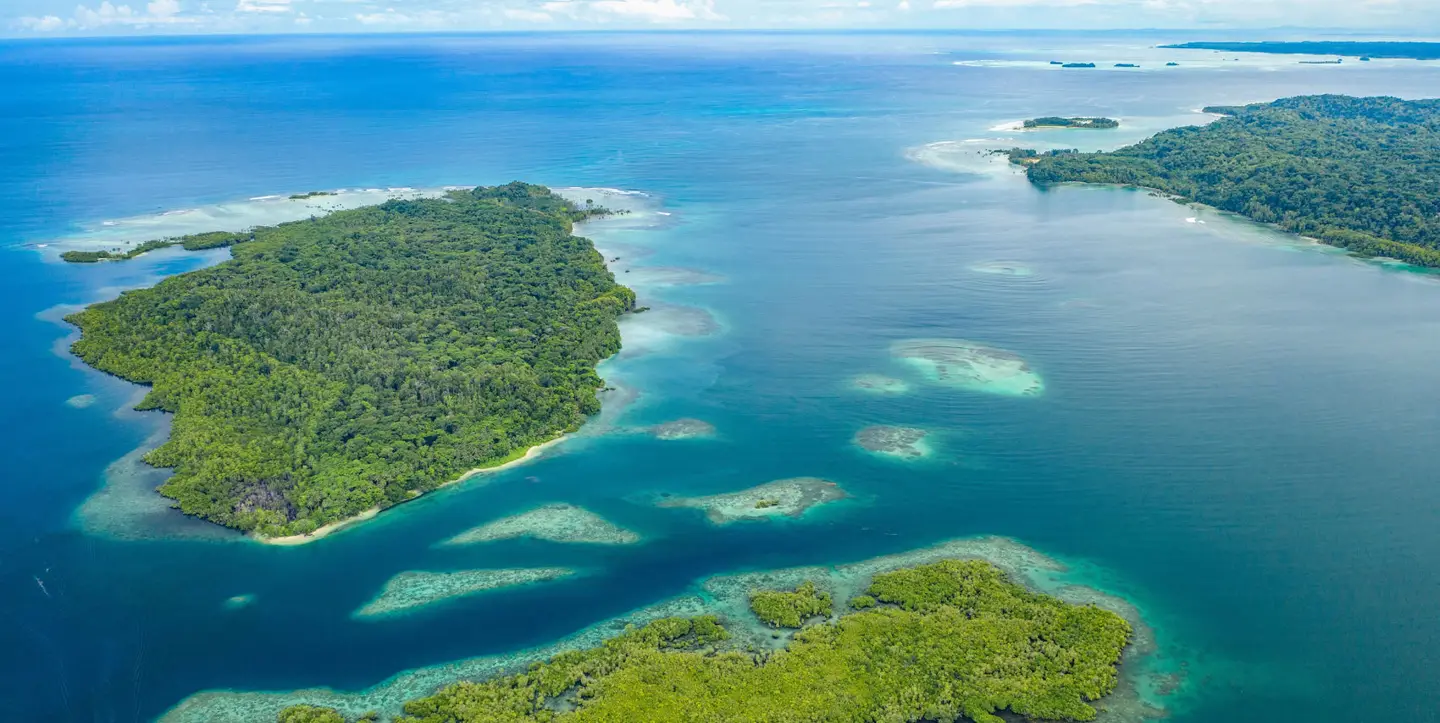
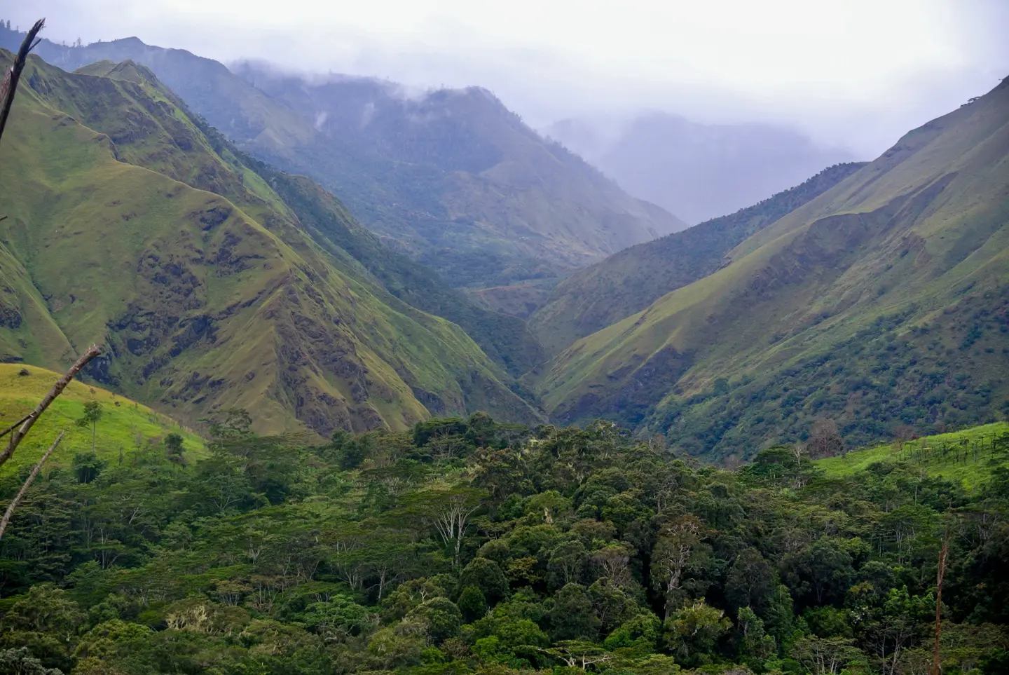
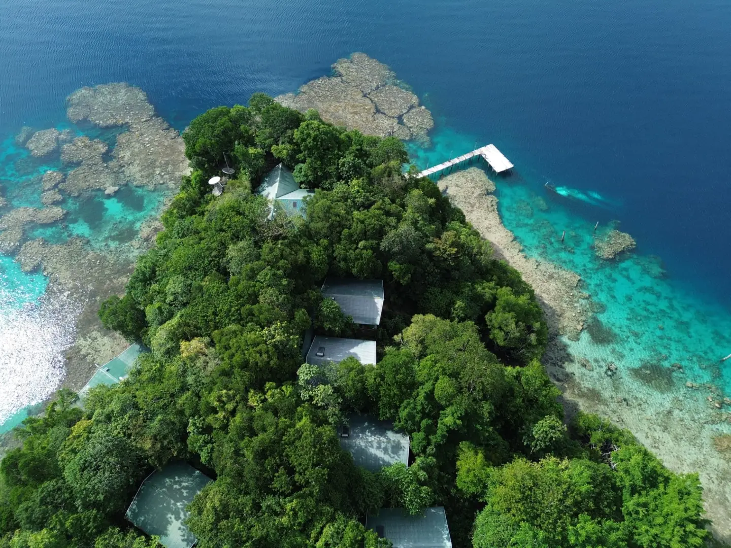
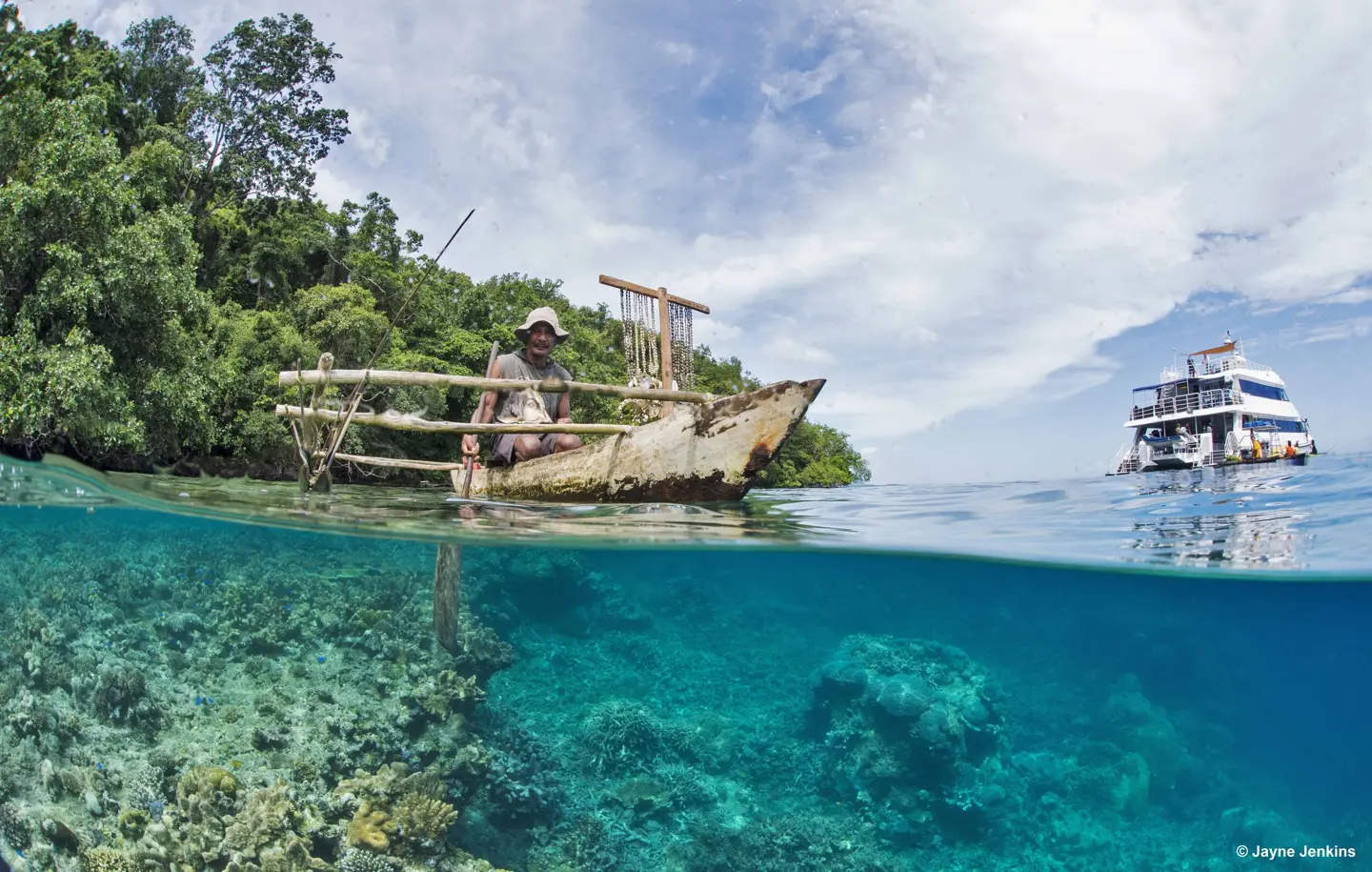
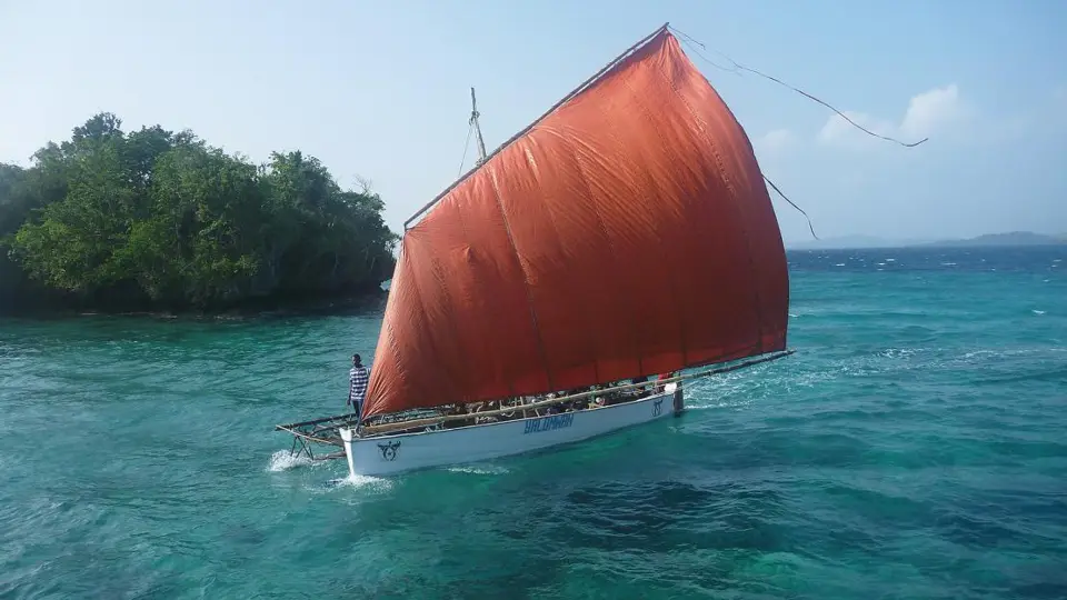
From Alotau’s waterfront to the far islands of the Louisiades, discover a province shaped by voyaging, exchange and the people who call it home. There is more here than a view. Meet the guides, hosts, makers and local businesses who turn a place on a map into a journey you remember.
North is up. All views use the same geographic projection, with a standard parallel of 10° S. Markers are representative island locations, not landing points. Tiny islands may be absent from the generalised coastline. Group overviews are available in the guide dropdown rather than drawn as individual islands. This visitor map is not a nautical chart.